Oficinas centrales
- PCITAL Gardeny Edificio H2, planta 2a 25003 Lleida
- +(34) 973 100 801
- info@citisend.io


Our Citi’PAP solution is designed to monitor street cleaning activities and obtain compliance with the percentage of completion of the route based on compliance with the activity signal and guarantee effective management of services. It is the most popular option among our clients, providing real-time assistance to operational teams and facilitating the management of urban services.
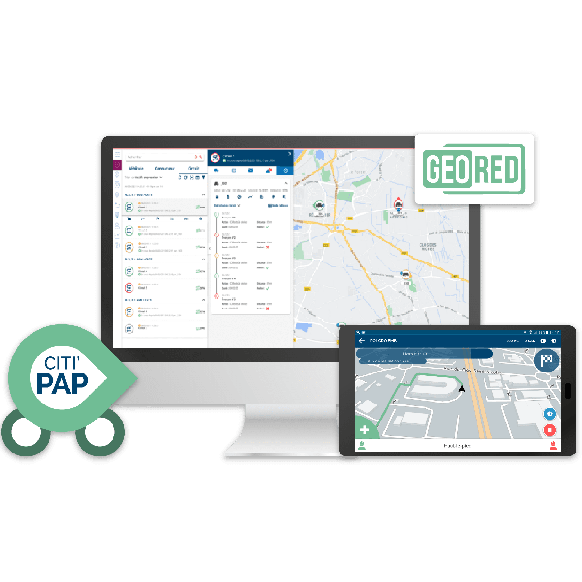
Citi’PAP works through an on-board mobile application, available on a ruggedized Android tablet on the front of the vehicle, with the installation of a geolocation device for real-time reporting of all operations.

of the offer with the possibility of using the Android tablet linked to the activity signal of the sweeper, the washer or the urban service that we want to use.

effectiveness of services performed with real-time commercial data for continuous improvement.

to add modules as operational needs evolve.
The EdiTour Online module is the simple and innovative mapping solution for the intelligent management of collection routes. It is the route editing and optimization module integrated into Geored Online.
The application allows intuitive management of circuits with different functionalities.
Creation of a circuit from A to Z with positioning of maneuvers and activities.
To facilitate the creation of theoretical circuits, it is possible to use historical GPS positions as a basis for the constitution of theoretical circuits. These positions are returned from the field in XML format. It is also possible to import reference routes already used by your departments.
Our solution allows you to modify, duplicate and rationalize your reference circuits. Thus, you have the possibility to dynamically visualize your routes and generate digital route sheets.
Once completed, the created route is exported to the Geored Online route module so that it is available for planning and execution by the vehicles.
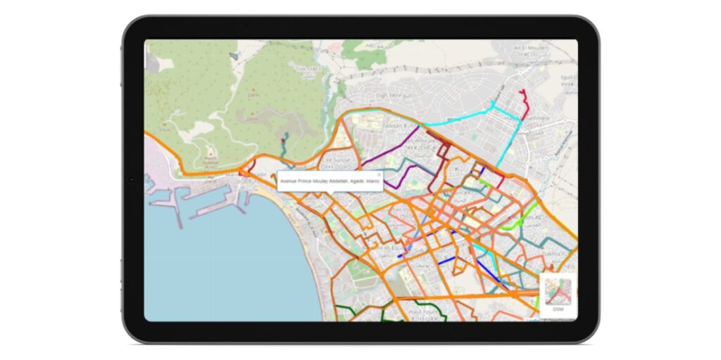

The driver has the option to be guided to a selected section.
On the right side of the screen the list of the sections to be completed and the completed sections is shown.
The map shows the route of the selected section and the action that must be carried out at that moment.
The Geored software displays detailed information about the circuit execution:


At Citisend, we offer solutions to identify containers in reports and mapping support, allowing accurate tracking of collection and cleaning operations.

